Main Line Atlases Collection
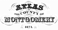
1871 Edition. “Atlas of the County of Montgomery and the State of Pennsylvania.” From Actual Surveys & Official Records. Compiled & Published by G.M. Hopkins & Co., 320 Walnut Street, Philadelphia, Pennsylvania.
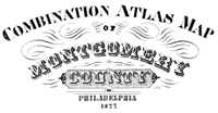
1877 Edition. “Combination Atlas Map of Montgomery County, Pennsylvania.” Compiled, Drawn and Published From Personal Examinations and Surveys. J.D. Scott, Philadelphia, Pennsylvania.
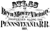
1881 Edition. “Atlas of Bryn Mawr and Vicinity or of Properties Along the Pennsylvania R.R. Including 1 1/2 Miles Each Side of the Road and From City Line to Malvern Station.” From Official Records, Private Plans and Actual Surveys. Published by G.M. Hopkins C.E., 320 Walnut Street, Philadelphia, Pennsylvania.
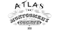
1887 Edition. “Atlas of Properties Along the Pennsylvania R.R. Embracing Two Miles Each Side of the Road and From Overbrook to Malvern Station.” Compiled From Official Records, Private Plans and Actual Surveys by G. Wm. Baist, Topographical Engineer. Published by J.L. Smith, 27 South Street, Philadelphia, Pennsylvania.
